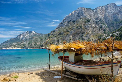
This nice pebbled beach is located 13km southeast of Vathy, the capital of Samos. It is rather a small and calm cove with green, crystal clear waters totally protected from the strong winds.
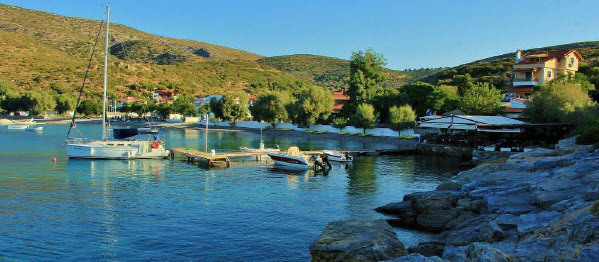
The cove of Poseidonio or Moulebraim is maybe the best protected cove in Samos. Unfortunately the bottom is weed and loose mud which does not provide good holding. While the predominant winds in the summer are from the NW to NE, in the afternoon there can be strong gusts from the SE. The anchor may appear to be caught, but with a strong gust it may drag. Always use 2 anchors.
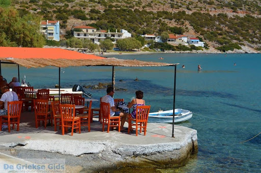
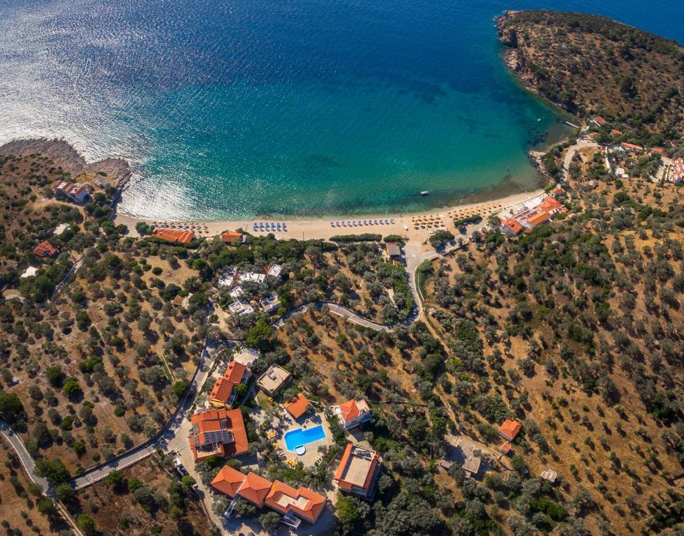
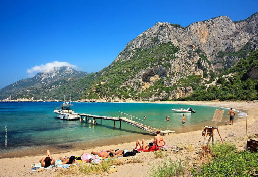
Psili Ammos Beach
Latitude: 37°42.3′N, Longitude: 27°01.2′E
There is a tavern ashore. It is a very popular swimming area.
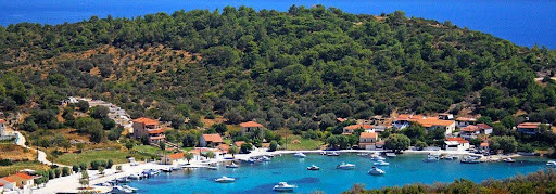
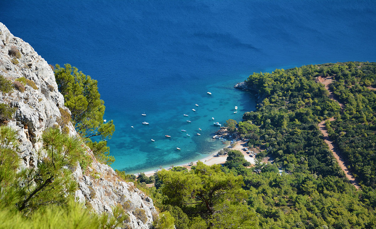
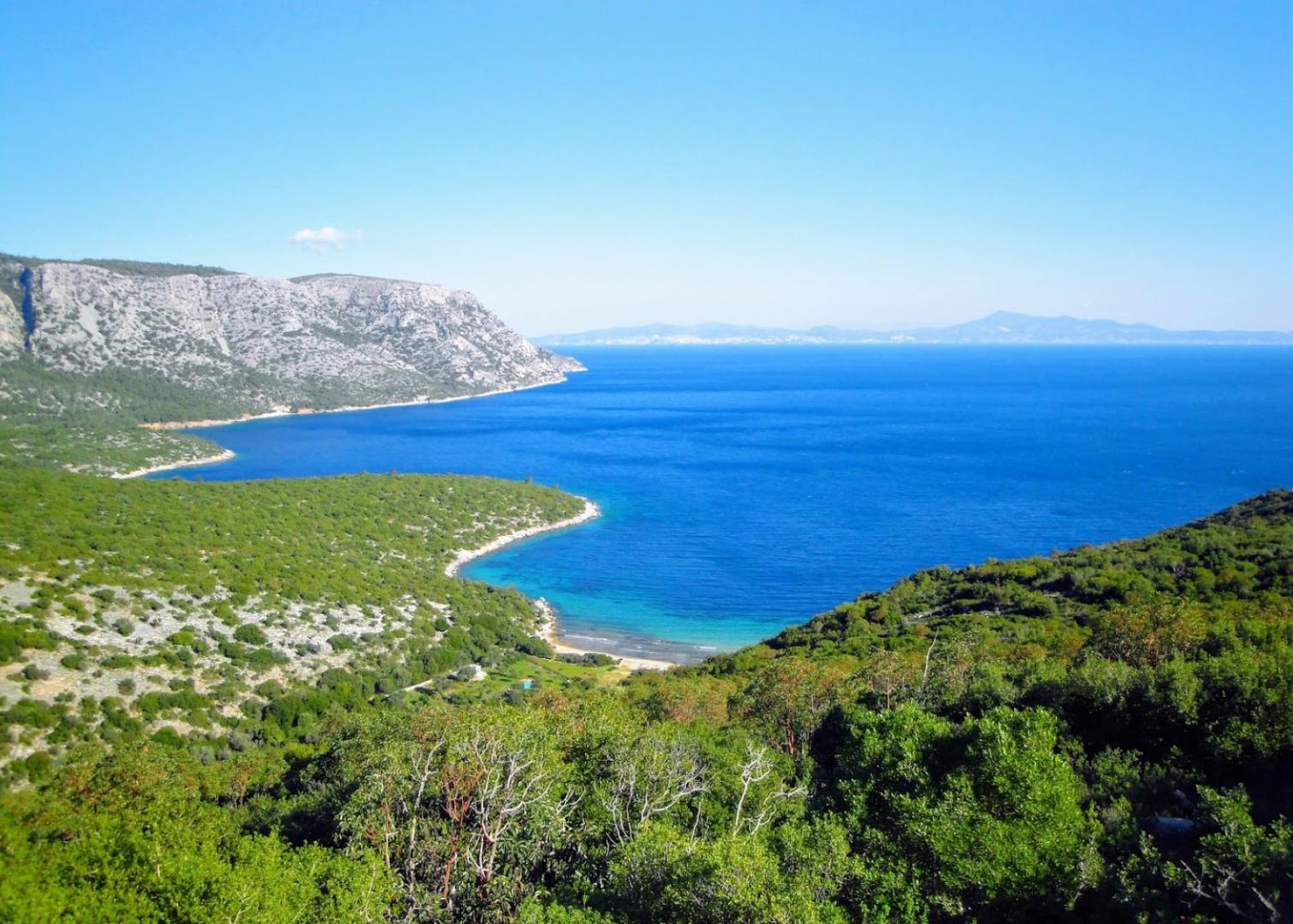
Kerveli Bay
Longitude: 27o 02′ 07.03″ E Latitude: 37o 43′ 45.54″ N
This is a quiet and relaxed beach located on the east coast of Samos, perfect if you want to spend a day at the bay without being disturbed. The beaches consist of pebbles and stones.
Kerveli is a cove that offers better protection than Mourtia. Good holding.
Klima Bay
Latitude: 37 40′ 42” N Longitude: 26 36′ 02”E
Klima Beach is situated on the south-eastern part of the island, on the way to Kerveli, nearby Possidonio. The beach is like a hidden place far from popular sites and away from crowd. Klima is a cove just W of Poseidonio. It offers slightly less protection from the meltemi than Poseidonio but it provides better holding and it is another alternative. Anchor in 5-6 m over sand.
Limnionas Bay
Latitude: 37o 39’ 24’’ N Longitude: 26o 46’ 50” E
The bay offers some shelter from the N wind but it is subject to strong gusts and it is exposed to the S. The sandy cove just E of Limnionas offers more privacy and better shelter. Anchor in 5-6 m depth. Excellent holding.
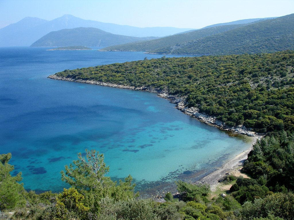
Mourtia Bay
Latitude: 37°45.3664 N Longitude: 27°01.9165 E
Mourtia is located in Samos on the North East side of the island and is a verdant scenery. It has a beautiful beach with palm trees.
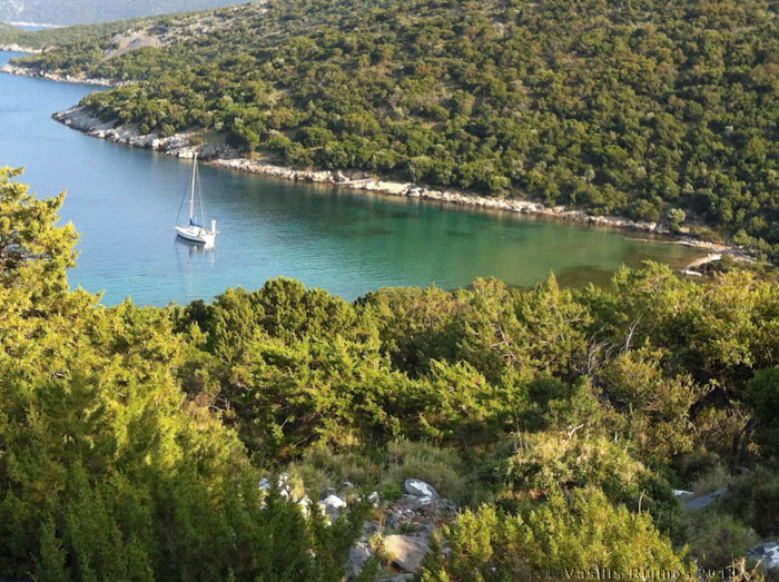
Mikri Lakka Bay
Latitude: 37 45′ 22” Longitude: 27 01′ 40”
Mikri Lakka Bay is about 1 M S of Mourtia there is a nice deserted cove that affords fairly good protection from the meltemi. Anchor in 5 m over sand and some weed. Fairly good holding. This is an ideal place to watch the full moon rise over the mountains of Turkey.
Megali Lakka Bay
Latitude: 37 45′ 03” Longitude: 27 01′ 40”
Megali Lakka Bay is about 500 S of Mikri Lakka is less isolated but it also affords fairly good protection from the meltemi.
Megalo Seitani
Latitude: 37°46’10.2″ Longitude: 26°38’7.08″
Nisi Bay
Latitude: 37°46.9′N Longitude: 27 01′ 40”
Nisi is a good anchorage with south winds and not very good with northerlies, but if you tuck the boat close to the W shore you will be sheltered from the meltemi The bottom is rocky. It is good spot to stop for lunch and a swim.
Tsopela Bay
Latitude: 37°38.3′N, Longitude: 26°49.9′E
Tsopela is an anchorage right across from the small island of Samiopoula It is protected from the N and the NE but exposed to the S. With strong NW winds some swell enters the cove.